Investigating Potential Cover-Ups on Google Earth: Debunking or Delineating Hidden Realities?
In recent years, Google Earth has become an invaluable tool for enthusiasts, researchers, and the curious to explore our planet from a digital vantage point. However, some users have raised questions about the authenticity of certain imagery on the platform, suggesting the possibility of deliberate alterations or concealment of key locations.
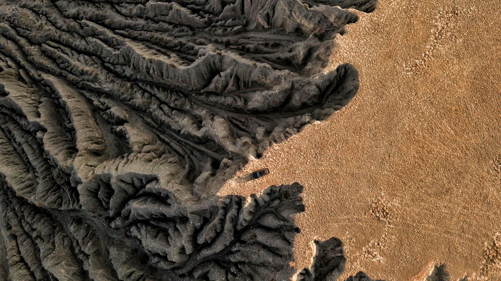
One notable case involves an area in the New Mexico high desert. Historical satellite images reveal a distinctive bright, shiny, white or silver object embedded in a hillside—an anomaly that resembles a crashed craft or other undisclosed structure. Observers have pointed out similarities in vegetation patterns around this site, indicated by white circles on recent imagery, which seem to confirm the presence of a noteworthy feature. Over time, Google Earth’s updates have replaced these images with newer views depicting constructions or buildings, leading to questions about what information is being obscured or altered.
Further explorations into historical and comparative imagery have unearthed additional anomalies. For instance, off the coast of California near Point Mugu and Isla Guadalupe on the Baja Norte Peninsula, earlier detailed topographical images have been replaced or blurred in recent versions, often masked with watermarks such as “GE 2026.” These changes seem to suggest the deliberate hiding of certain underwater or terrestrial features, fueling speculation about whether significant insights are being intentionally concealed from the public.
This recurring theme raises profound questions about transparency and the potential for long-standing information suppression. Are we witnessing an active effort to obscure locations linked to unidentified flying objects (UFOs), crash sites, or other sensitive areas? Could specified imagery be digitally manipulated or physically removed to prevent public scrutiny?
While definitive answers remain elusive, the evolving nature of satellite imagery on widely accessible platforms like Google Earth warrants scrutiny. It underscores the importance of critical thinking and cautious interpretation of the data we access. Historically, governments and organizations have been accused of controlling information related to extraterrestrial phenomena, military installations, and other clandestine activities; this pattern seems to persist in digital mapping platforms.
In conclusion, whether these changes are the result of digital editing, government intervention, or other factors, they serve as a reminder of the complexities involved in global transparency. As consumers of satellite imagery, it’s essential to consider the possibility of intentional obscuration and to advocate for greater openness regarding our planet’s most mysterious features.
You be the judge.
0 thoughts on “UFO cover-up on Google Earth (actual, physical cover-up or digitally-created “cover”?). NM high desert, lat/long shown. Old satt images show something bright, shiny, white/silver and clearly crash embedded in hillside. See white circles for SAME nearby vegetation pattern! GE now shows buildings…”